
super/collider looks at the natural (and unnatural) history of the Missouri River, which lies at the centre of protests against the construction of a Trump-backed oil pipeline
Where on Earth?
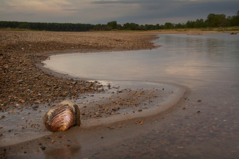
Missouri River, North Dakota
GPS Coordinates: 46°14′N 100°38′W\
For over ten thousand years, nomadic tribes like the Assiniboine, the Mandan and the Sioux travelled, fished and hunted along the pristine banks of North America’s longest river – the Missouri. Now, following President Trump’s recent executive order to move ahead with the completion of an oil pipeline underneath it, the river is back on the front lines in a battle involving climate change, water pollution, land rights and economics. On one side, Native North American tribes led by the Standing Rock Sioux have joined forces with coalition of environmentalists and activists; uniting to stop a natural gas company called Dakota Access LLC and its partners. The proposed pipeline crosses the Missouri River near the point at which the smaller Cannonball River joins it – just upriver from the Sioux’s Standing Rock reservation.

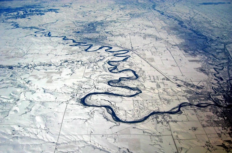
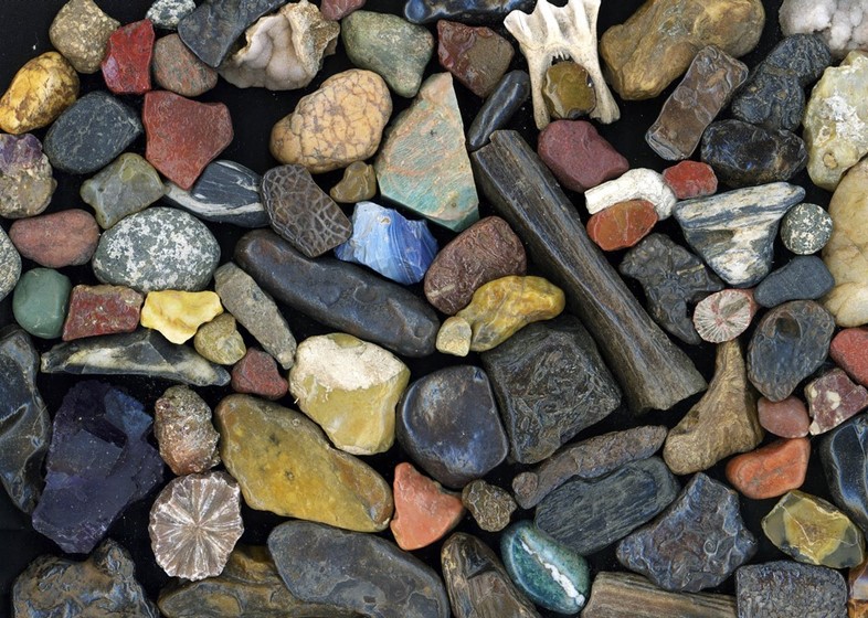
The area is particularly sacred to the tribe due to the strange, perfectly spherical stones created by the confluence of the two rivers. The ensuing Sacred Stones protest camp and others in the area swelled to about 5000 people in late November before the US Army Corps of Engineers under President Obama announced it would not allow the pipeline to cross at the proposed point. Ironically, this exact stretch of the Missouri was transformed beyond recognition after the same agency constructed a series of dams back in the 1940s and 50s. Now known as Lake Oahe, the stretch of river there was blocked to create a massive reservoir – part of a huge engineering endeavour called the Pick-Sloan Project. The plan called for the damming of the Missouri in various places to prevent flooding and generate power. Critics then and now point out that most of the valleys and areas marked for flooding by the dams were on Sioux and other First Nations lands.
According to a writer on Native American Netroots, “In 1948 the Army Corps of Engineers began construction of Oahe Dam in South Dakota – [which] would destroy more Indian land than any other public works project in America. The project destroyed 90% of the timber land on the Standing Rock Sioux and Cheyenne River Sioux reservations as well as the most valuable rangeland, most of the gardens and cultivated areas, and wild fruit and wildlife resources.”

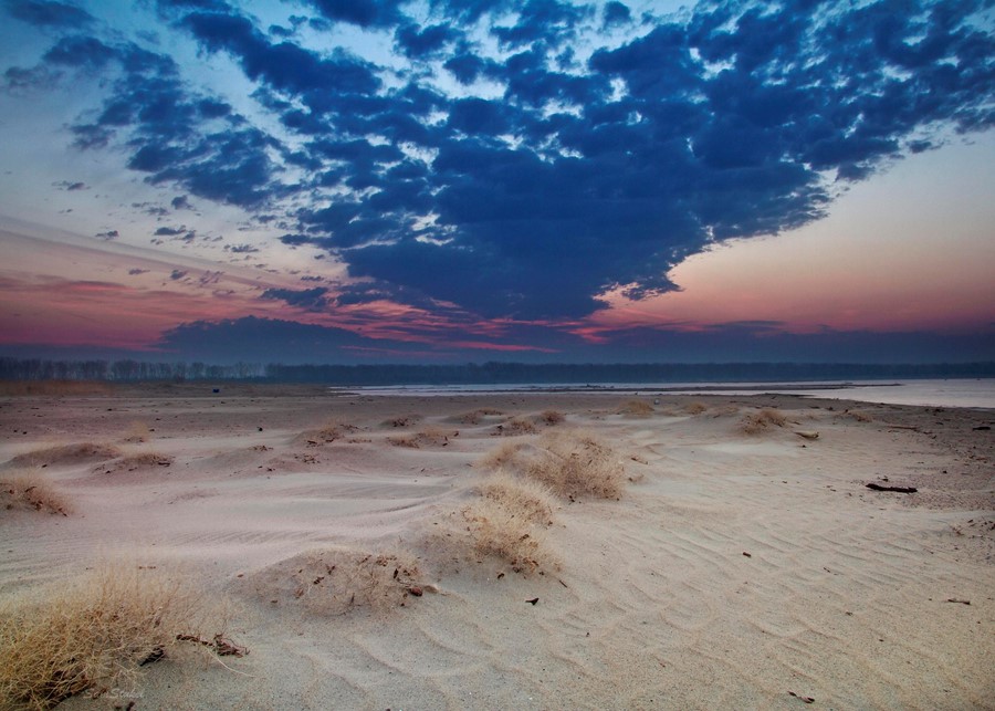
To understand what the river was like before, we have to journey back to less turbulent times. Like much of the northern US and almost all of Canada, the area’s original geology and hydrology was shaped by the massive Laurentide ice sheet which covered much of the continent until roughly 20,000 years ago. Stretching across millions of square miles, the ice was up to two miles thick in places and left its mark on the landscape as it advanced, retreated and eventually melted. Along its southern edge, it changed the course of rivers by gouging out new valleys and redirecting rivers in a North/South direction. Before the glaciers, water in the Dakotas region ran north into what is now Canada. Today, the Missouri begins high in the Rocky Mountains then zigzags down South and West through ancient and more modern glacial channels, travelling over 2000 miles before eventually joining the Mississippi to finally empty into the Gulf of Mexico far to the south.

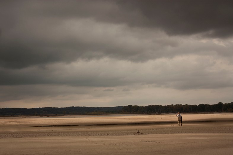
The Missouri’s drainage basin (the area where all surface water from rain, snow and melting ice converges in a single point) covers more than half a million square miles, creating a vast water resource for the millions of people who live downstream. The river sees nearly 90,000 cubic feet of water flowing past every second on average, and grows even bigger with the spring melt. With so much at stake downstream from the proposed pipeline crossing point, fears of a leak are well justified – as this sobering list of pipeline accidents attests. In 2010, a pipeline burst and leaked over a million gallons of heavy crude oil into the Kalamazoo River in Michigan. America’s largest inland oil spill to date, it closed a section of the river for two weeks and proved to be the costliest spill in US history. According to the Sioux, an old prophecy tells of a black snake (zuzeca sape) crossing the land; bringing with it destruction and devastation. As protesters once again gear up to fight against the pipeline, it’s sobering to think back over all the millennia the Missouri has peacefully flowed, and how quickly modern technology can alter landscapes.

How on Earth?
Camp of the Sacred Stones is located south of Bismarck, North Dakota and visitors are welcome. However, given the current winter weather, organisers have stated: “In these harsh winter months we are asking that only people who can work and survive in the winter conditions come to camp. We do not have a lot of space at this time, and warm winter shelters are in short supply. Please arrive with everything you need to deal with subzero temperatures and blizzard conditions. Wind chills have already been getting below -50 degrees F.”
For more information including background on the pipeline, recent news and how to donate, visit the website.