
super/collider climbs to the edge of a volcanic caldera high above the horizon
Where on Earth?
Mount Teide
GPS Coordinates: 28°16′N 16°38′W
Rising from the ocean some 160 nautical miles west of Africa, the island of Tenerife is dominated by its towering central volcano, Teide. Spain’s highest point, it lies at the centre of a series of eruption sites that have shattered and shaped the subtropical landscape, creating a spectacular, silent world high above the waves.
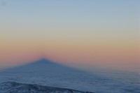
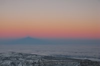
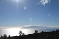

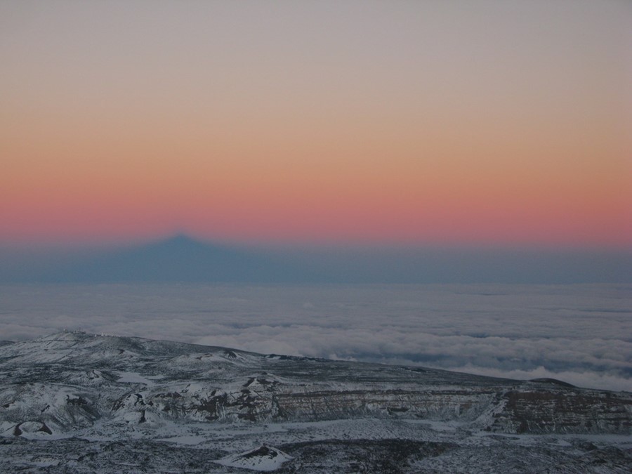
Measured from its base deep down in the waters of the Atlantic, Teide is the third tallest volcano in the world, after Mauna Kea and Mauna Loa in Hawaii. Like them, the volcano was considered sacred to the native Guanche people of the island. From its summit, you can see the surrounding islands of La Gomera, Gran Canaria and distant La Palma floating above the sea haze. Teide is so high that at sunrise and sunset you can watch the shadow of the volcano and sometimes the Earth itself slowly sink across the sea of clouds that often stretches clear to the horizon.
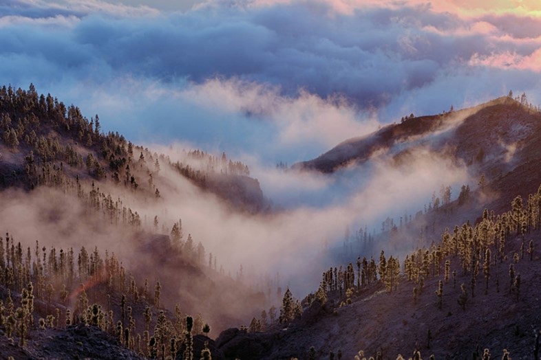
To get there, the journey starts at sea level. Leaving the cocktail specials and plastic beach loungers of the island’s touristy south coast behind, you wind your way up past terraced farms and small villages into green, tranquil pine forests. The road climbs further and further above the plains, then suddenly levels out and enters a whole new realm: the caldera.

What on Earth?
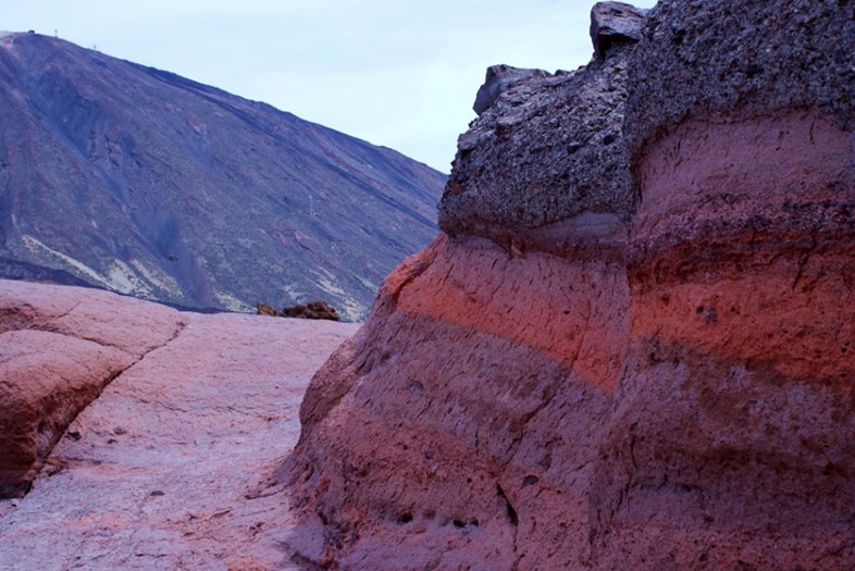
The massive Las Cañadas caldera is a world unto itself – a vast depression caused by the collapse of a previous, larger volcano. In fact, the geological history of Tenerife is a story of volcanoes on top of volcanoes on top of volcanoes. It began back in the Miocene, when three shield volcanoes erupted and merged over the course of about 8 million years to give Tenerife its basic shape. Next, the Las Cañadas volcano formed in the centre of the island, rising nearly 15,000 feet above the waves. Then, between 160 and 220 thousand years ago, its central summit collapsed – forming the massive void from which the current peak of Teide arose.
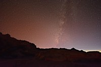
The UNESCO-protected area around Teide is a strange landscape – at times reminiscent of the American west and at other times more like the moon or Mars. Teams from the UK and the European Space Agency have used the caldera as a testing ground for instruments and techniques that could later be used on other worlds, and the area is also home to a series of advanced telescopes that make up part of the European Northern Observatory. Thanks to the island’s clear, remote skies and the caldera’s elevated viewpoint, it’s one of the best places on Earth to peer deep into the cosmos.

How on Earth?
Getting to Teide is easy and cost effective – plenty of flights serve the island and from either the North or South Airport it’s an easy drive or bus ride up to Teide National Park.
super/collider will be running an expedition to Tenerife in May 2016 to observe the Transit of Mercury from high above the clouds. Beyond the chance to see this rare astronomical alignment as Mercury passes in front of the sun, the trip featuring a walk through a lava tunnel, camping and hiking amid Teide’s pine forests, stargazing under ultra-dark skies and dolphin-watching out at sea. For more, visit the super/collider website.